01 April 2025 · Terbit pertama di Medium · Semua tulisan
Need Digital Elevation Model data for your GIS projects? Stop searching endlessly! The OpenTopography DEM Downloader plugin in QGIS makes downloading Digital Elevation Models (DEMs) quick, easy, and hassle-free. Whether you’re analyzing terrain, modeling watersheds, or working on remote sensing applications, this plugin streamlines the entire process — letting you focus on your analysis instead of wrestling with data sources.
Follow this step-by-step guide and start accessing top-tier elevation data in just a few clicks!
Prerequisites
Before you begin, make sure you have: QGIS installed (latest version recommended), active internet connection, and OpenTopography API Key (required for downloading DEMs)
Request API Key
Before using the plugin, you need to obtain an API key from OpenTopography. This step is only required the first time you install and set up the plugin — after that, your API key will be saved for future use.
Log in or create a free account.
Generate your API key and copy it for later use.
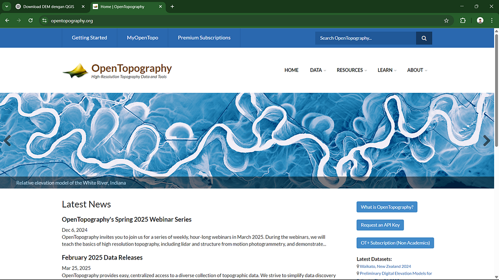
Visit link : https://
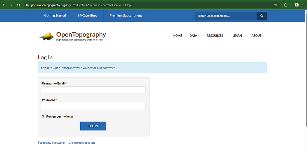
Create free account for request API Key
Install the OpenTopography DEM Downloader Plugin
Open QGIS.
Navigate to Plugins > Manage and Install Plugins.
In the search bar, type OpenTopography DEM Downloader.
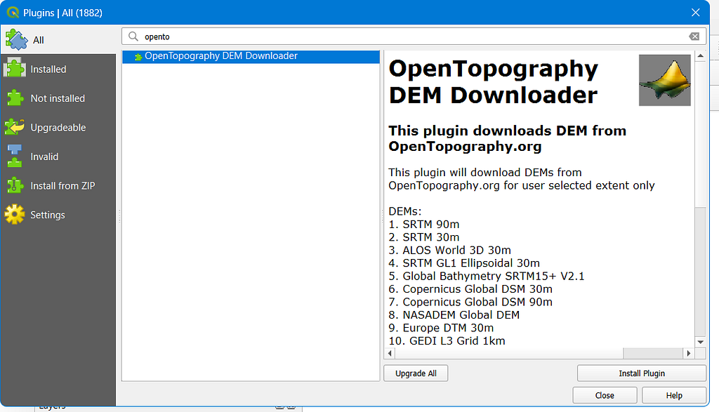
Launch the Plugin
Once installed, open the plugin from the menu bar at the top of QGIS.
Alternatively, click on Raster > OpenTopography DEM Downloader.
A user-friendly window will appear, allowing you to select your area of interest (AOI) and DEM dataset.
Enter your OpenTopography API Key to activate downloads.
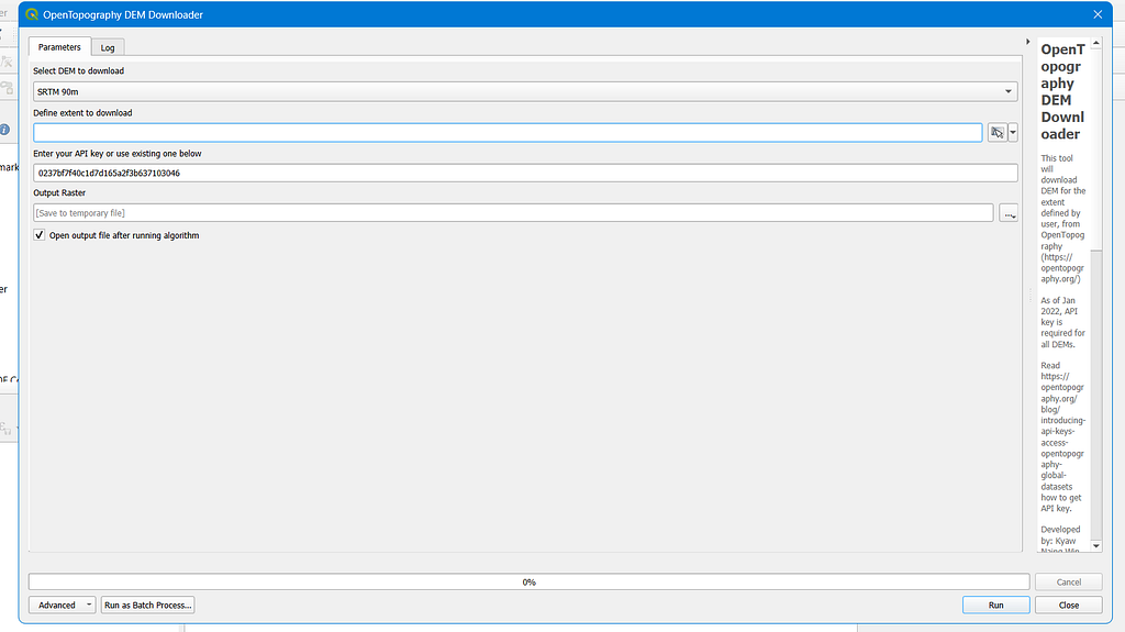
Define Your Area of Interest
Choose your AOI using one of these methods:
Manually input latitude and longitude coordinates.
Use the Select on Map tool to define your desired area visually.
If you have an uploaded shapefile of your study area, use Calculate from Layer for precise selection.
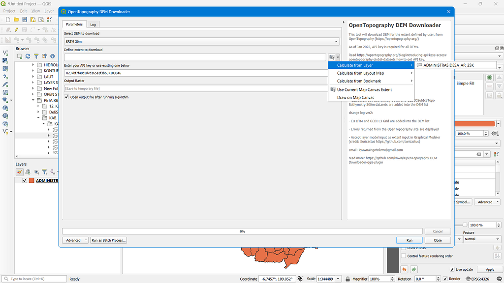
2. Pick from a variety of high-quality DEM datasets, including
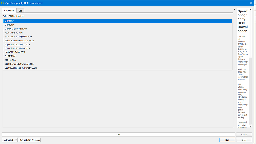
Including SRTM (90m & 30m), ALOS World 3D (30m), SRTM GL1 Ellipsoidal (30m), Global Bathymetry SRTM15+ V2.1, Copernicus Global DSM (30m & 90m), NASADEM Global DEM, Europe DTM (30m), GEDI L3 Grid (1km), GEBCOIceTopo Bathymetry (500m), and GEBCOSubIceTopo Bathymetry (500m).
3. Select your preferred output format
4. Click “Run” and let the magic happen!
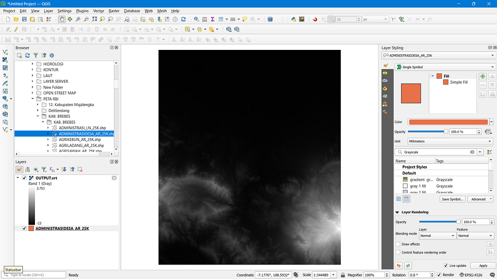
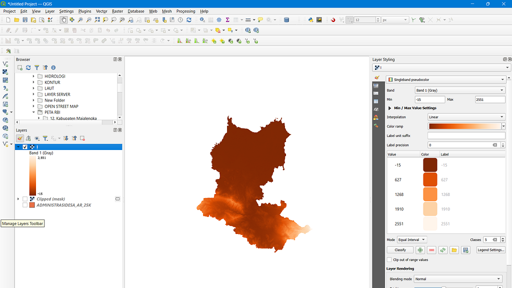
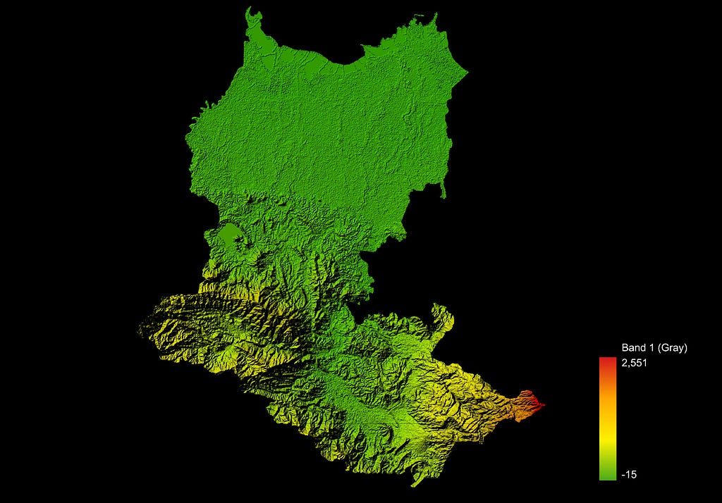
Load and Visualize Your DEM in QGIS