English · Bahasa Indonesia
Repositories and tools for remote sensing, GIS, and geospatial analysis.
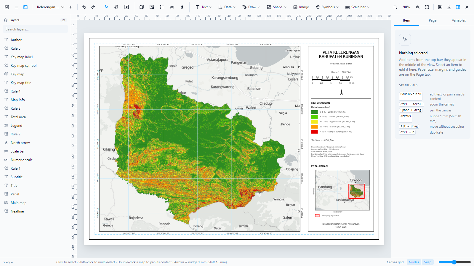
Layout Composer (GeoLibre plugin)
A cartographic layout designer for GeoLibre: print-ready maps with a layer panel, map frames, grids, insets, legends, and PNG/PDF/GeoPDF export.
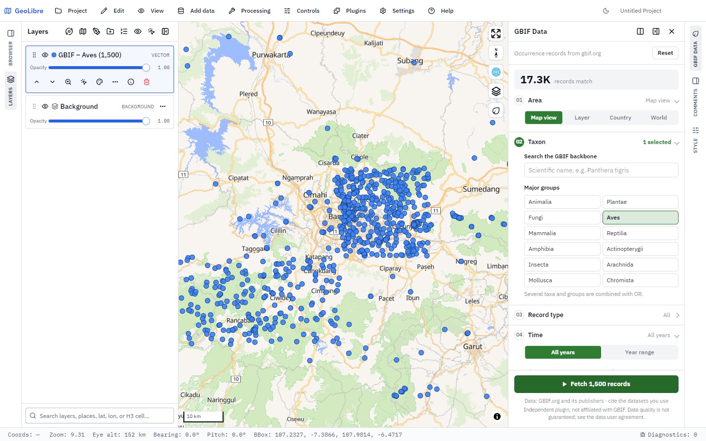
GBIF Data (GeoLibre plugin)
Biodiversity occurrence records from GBIF straight onto the GeoLibre map, as points or density, with citations.
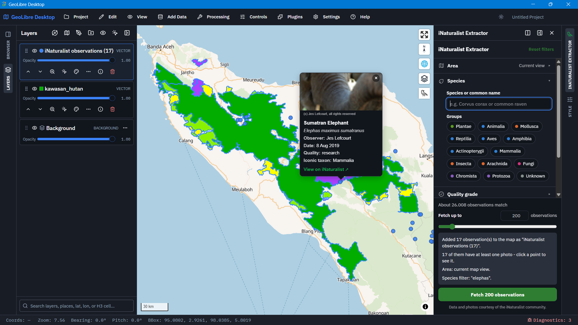
iNaturalist Extractor (GeoLibre plugin)
iNaturalist observations for an area, added to the map as a GeoJSON layer.
A Google Earth Engine app for multi-sensor vegetation indices, thresholding and area statistics.
Interactive, cloud-based land cover classification in the GEE Code Editor.
JavaScript · Random Forest
A backend-free web chart builder for publication-ready figures, exporting PNG and SVG.
A rainfall WebGIS on CHIRPS data with a custom area, trend charts and GeoTIFF export.
JavaScript · Earth Engine Apps